E-Resource Spotlight: AtoZ Maps Online
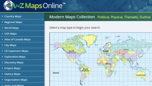 This comprehensive database includes over 60,000 maps, including over 5,000 high-resolution modern maps of the world, regions, countries, and states. There are outline maps, political maps, physical maps, population maps, environmental maps, climate change maps, and other thematic maps from NASA, USGS, USFS, NOAA and other scientific, technical, and conservation organizations. Featured are 15,000+ Google Earth “Skins,” interactive maps, and animated maps. New maps are added to the collection every month. There are also 7,000+ antique world, regional, country, and state maps. The database also includes 14 visual glossaries of geography, earth science, and cartography; 18 flag images for each country, U.S. State, and Canadian Province; and educational and teaching tools such as geography lesson plans, country and state crossword puzzles, and other geography games. These maps are also royalty-free and may be used for reports, posters, multi-media presentations, and just about any other use imaginable.