Summer Innovation: More Digitized Maps
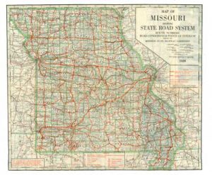 One of the Summer Innovation projects for 2017 involves digitizing and creating metadata for rare, historic maps of Springfield, Greene County, surrounding counties, the Ozarks region, and Missouri. Jim Coombs, Shannon Mawhiney, and student assistant Emilie Burke will be the principal participants in this project. Maps from the Civil War era will be digitized, along with street and road maps dating back to the Roaring Twenties, when Route 66 was born. Selected topographic and geologic maps also will be scanned. The digital scans of these large maps will be created using the large format scanner in the new Open Access Computer Lab in the northwest quadrant of the First Level of Duane G. Meyer Library.